top of page
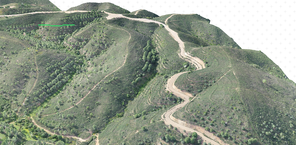
Execution of Vectorial Topographic Cartography
Project Description
TOPOGRAPHIC CARTOGRAPHY
Land use planning, approved cartography, topographic surveys, plot surveys.
THEMATIC CARTOGRAPHY
Representation and communication of spatial information in the form of maps and figures, which may cover several thematic domains.
REGISTER
Land registry, road axes, police numbers, toponymy plaques, water supply and sewerage networks.

Captura de Ecrã (5)

Captura de Ecrã (6)_LI

Cartografia NdD1

Captura de Ecrã (5)
1/14
bottom of page

